Villereson, 14, participates in rehabilitation sessions to heal injuries sustained in the 2021 earthquake in Haiti. | © G.H. Rouzier / HI
Humanity & Inclusion's global impact by the numbers.
Villereson, 14, participates in rehabilitation sessions to heal injuries sustained in the 2021 earthquake in Haiti. | © G.H. Rouzier / HI
For more than 40 years, Humanity & Inclusion's donors have made it possible for staff worldwide to stamp out exclusion, provide specific and general aid during emergencies, protect civilians from explosive weapons, and so much more.
Thanks to individual supporters just like you, people with disabilities and people living in situations of extreme vulnerability are able to live in dignity in nearly 60 countries impacted by poverty and exclusion, conflict, and disaster.
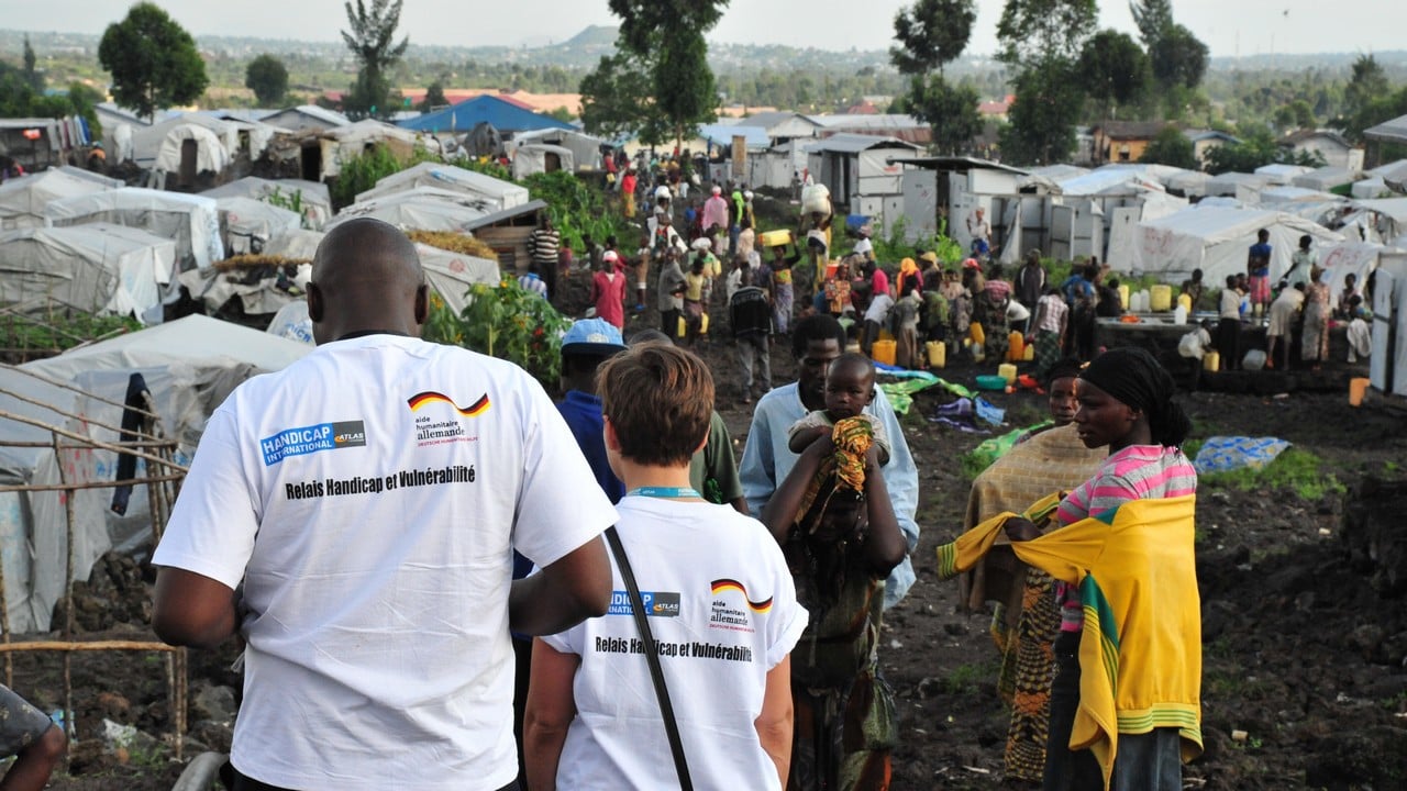
In addition to our amazing donors, we rely on the dedication of our 5,280 staff worldwide, including 4,438 local staff operating our programs on the ground.
In 2024, we ran 480 projects in 58 countries. Since HI was founded in 1982, our work has reached millions of people worldwide.
3,099,629
people received direct goods or services from projects implemented by HI or its operating partners in 2024
15,161,785
people indirectly impacted by goods or services received by others participating in HI's projects in 2024
Our actions focus on people living in situations of extreme hardship during times of peace, conflict and natural disaster. Generous donors make it possible for us to serve:
Check out our "HI From the Field" video series, for a snapshot into a day in the life of Humanity & Inclusion's dedicated staff around the world.
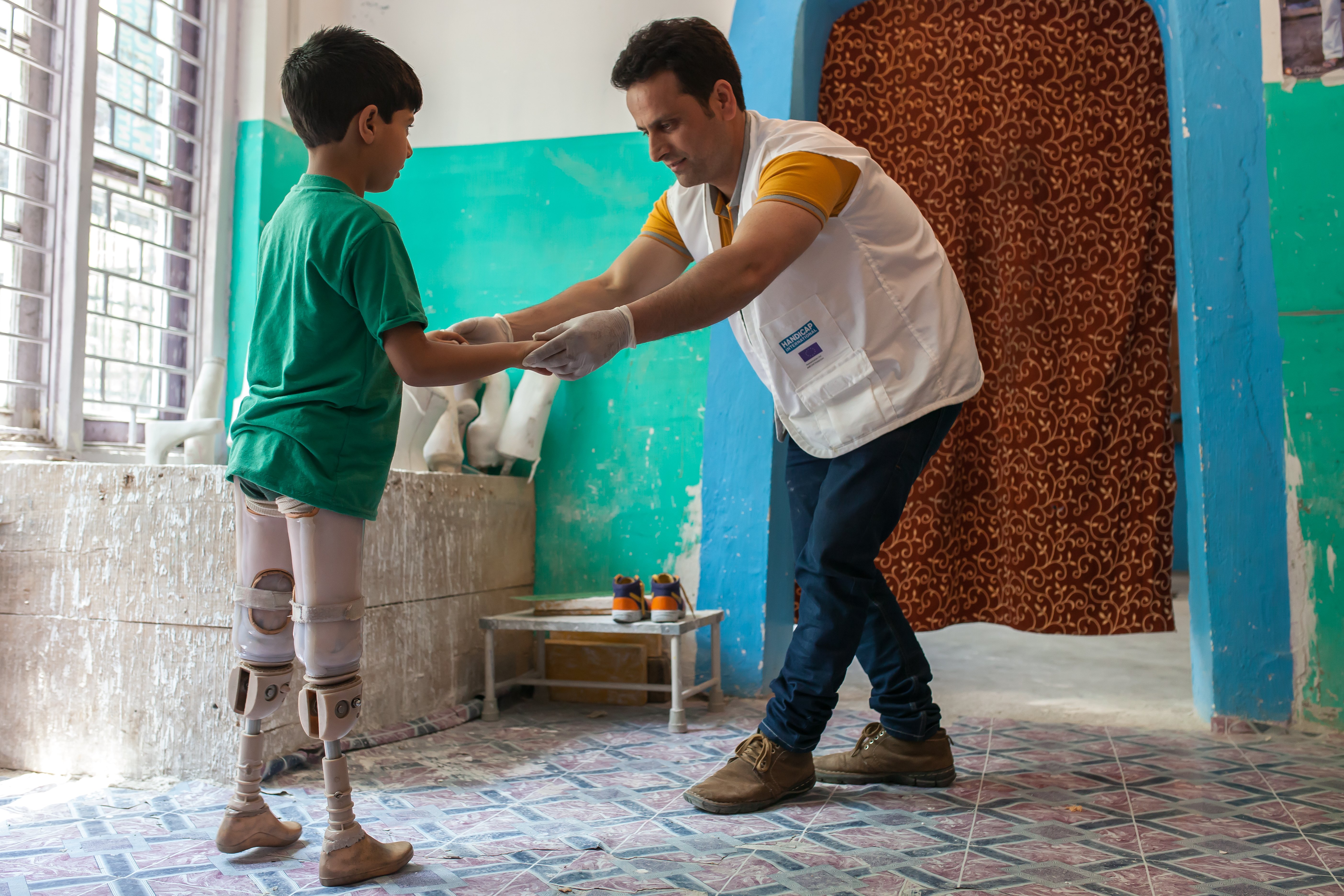
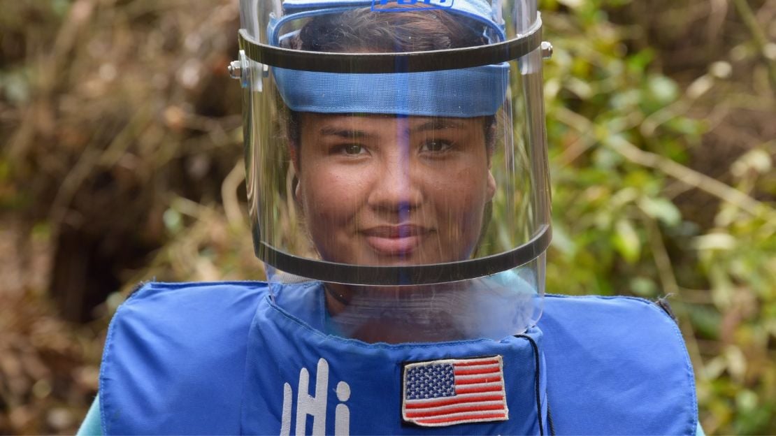
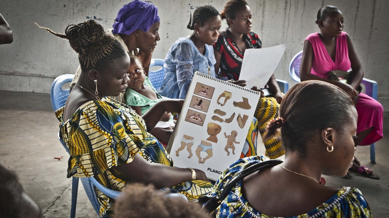
These are just some of the specialist roles that make up our dedicated teams in 60 countries:
We are so grateful to our generous donors from around the globe! We are especially grateful to the members of our First Responders monthly giving community and our Legacy Society. Learn more about ways you can make a difference.
Get the latest news about Humanity & Inclusion's work delivered straight to your inbox.
ABOUT US
Humanity & Inclusion U.S.
8757 Georgia Avenue
Suite 420
Silver Spring, MD 20910
MORE INFORMATION
SEARCH
Humanity & Inclusion is a nonprofit 501(c)(3) organization (EIN/tax ID number: 55-0914744). Contributions are fully tax-deductible to the extent allowable by law. CFC #51472
None of the funds donated through this website will benefit activities in the following countries: Cuba, Iran, North Korea, the Crimea Region, or Syria. Humanity & Inclusion does not have programs in all of these countries.